


- Want to check out the Lee Kay Public Shooting Range? Attend the 2026 open house
- DWR invites public to compete in the annual Utah Hunting Skills Challenge
- DWR releases recommendations for 2026 big game hunting permits
- Found a baby bird on the ground this spring? Here’s what to do
- A new wildlife management area, updates to WMA access requirements and 3 other wildlife-related laws passed during the 2026 legislative session
- Annual Hardware Wildlife Education Center exhibit provides important bear safety tips
- See great blue herons at upcoming DWR viewing event
- Over 1,400 big game animals assessed, GPS collared during 2025-26 winter captures
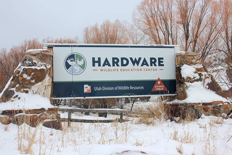
Hardware WMA
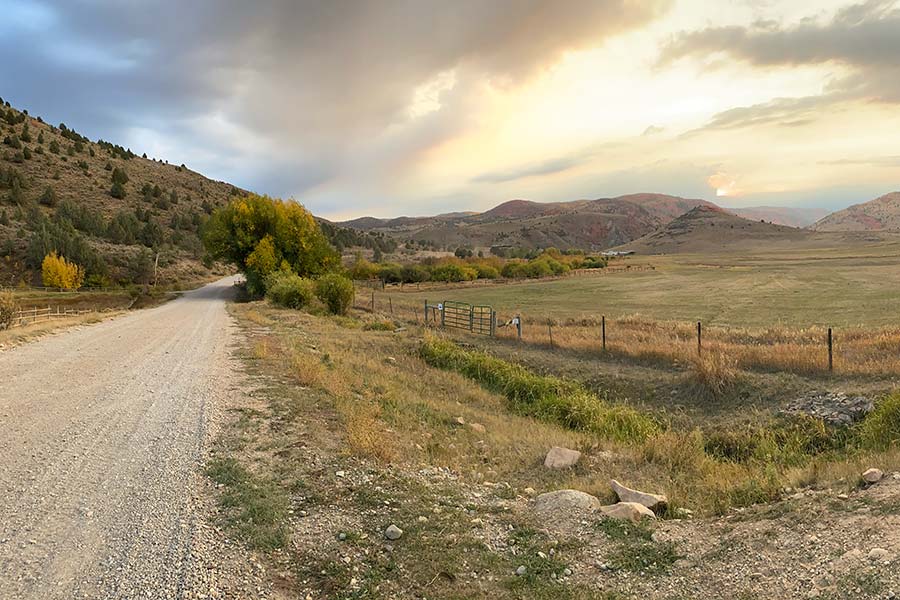
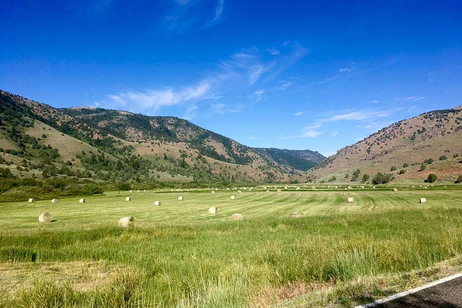
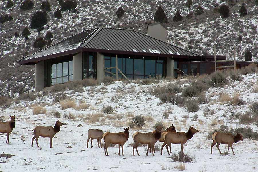
Hardware Wildlife Management Area — located at the top of Blacksmith Fork Canyon in northern Utah — provides habitat supporting a variety of wildlife species, as well as public access for wildlife viewing, hunting, fishing and other outdoor recreation.
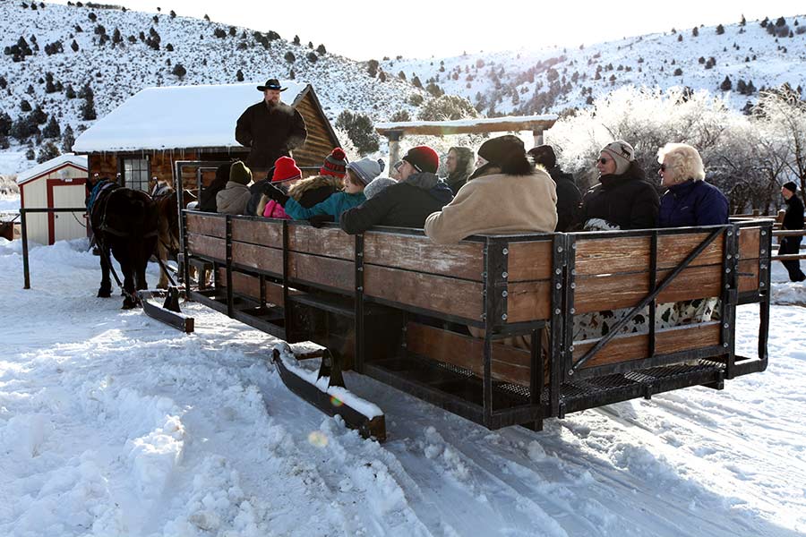
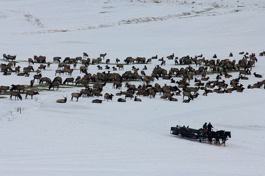
Horse-drawn sleigh and wagon rides on the WMA are offered in the winter on the days the center is open, and are a unique opportunity to see elk up close and in their natural habitat.
View a slideshow of sights at Hardware WMA.
Recreational and educational activities
In addition to the wildlife around the Education Center, fishing opportunities abound. Licensed anglers can catch several trout species in the nearly 15 miles of streams and rivers on the WMA (anglers 12 years of age and older must have a valid Utah fishing or combination license).
If you are a teacher or school group interested in learning more about year-round educational opportunities at Hardware WMA, find more details here.
Keeping elk herds healthy
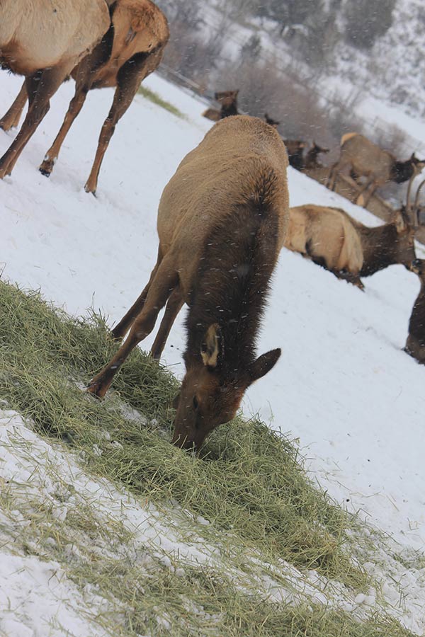
During the winter months, the Utah Division of Wildlife Resources feeds between 500 and 600 Rocky Mountain elk in the big meadow near Hardware's Wildlife Education Center each day. The grass hay used to feed the elk — approximately 300 tons — is grown on the WMA throughout the summer.
Also during the winter, DWR employees use the WMA's trapping facilities to capture some of the elk before weighing them and attaching ear tags. The DWR uses the ear tags to identify individual elk and study population characteristics. We also test a representative sample of elk each year for brucellosis and, occasionally, tuberculosis.


