 |
 |
 |
||||||||||||
 |
 |
 |
 |
 |
 |
 |
 |
|||||||
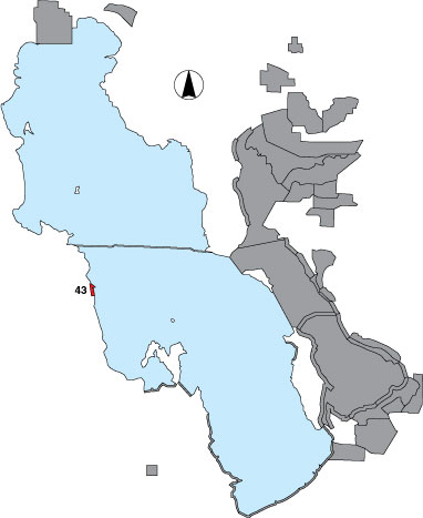
43 Deardens Knoll
Description |
Three points were identified on the western shore, south of the railroad dike. In 1999, some bird counts outside of the points were included. In 2000 and 2001 only the point samples were surveyed. As most of the shoreline between points was unsuitable for waterbirds, these points were grouped together and regarded as a total count as viewed from three vantage points. Access is restricted through US Air Force property. |
Primary Habitat
Area Size (ha) |
475.6 |
Estimated Area Covered by Survey (ha) |
475.6 |
Years Surveyed |
3 |
Detection Rates |
Several places along the transect it is necessary to drive around rock outcrops that prevent visibility of the water, but viewing is good at the point samples. |
Site Bird Data
|