 |
 |
 |
||||||||||||
 |
 |
 |
 |
 |
 |
 |
 |
|||||||
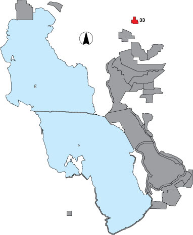
33 Salt Creek WMA
Description |
The area includes all accessible sites within the Salt Creek WMA with emphasis on the impoundments. An area count is included. This site is managed by UDWR. |
Primary Habitat
Area Size (ha) |
863.4 |
Estimated Area Covered by Survey (ha) |
302.2 |
Years Surveyed |
5 |
Detection Rates |
Detection rate for larger shorebirds is 99% (dowitchers, stilts, avocets). Tall vegetation is a barrier however. Of total WMA, 35% is surveyed, but 55% is good waterbird habitat. |
Site Bird Data
|