 |
 |
 |
||||||||||||
 |
 |
 |
 |
 |
 |
 |
 |
|||||||
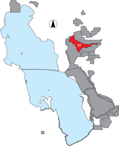
27 South Bear River
Description |
South Bear River is a large wetland complex south of the D-line dike in the Bear River Migratory Bird Refuge. The area is managed by USFWS. |
Primary Habitat
Area Size (ha) |
8272.3 |
Estimated Area Covered by Survey (ha) |
4136.1 |
Years Surveyed |
5 |
Detection Rates |
Due to emergent vegetation and viewing distances, visibility is considerably limited. |
Site Bird Data
|