 |
 |
 |
||||||||||||
 |
 |
 |
 |
 |
 |
 |
 |
|||||||
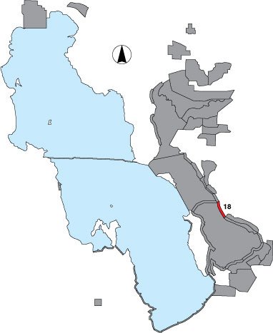
18 West Layton
Description |
The West Layton area is the shoreline between the peregrine hack tower at the Layton Preserve and the northern Antelope Island causeway. Three point samples were designated in this survey, one randomly selected and two at drainage points. Access is by permission of The Nature Conservancy. |
Primary Habitat
Area Size (ha) |
525.9 |
Estimated Area Covered by Survey (ha) |
525.9 |
Years Surveyed |
5 |
Detection Rates |
The shoreline viewing is clear. In some years, access through the southern end was difficult because of extremely soft mud consistencies, so counts were not complete. |
Site Bird Data
|