Description
|
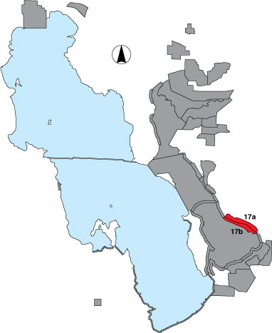
This area has two sections: the interior wetlands (17a) where we did a total count; and mudflat (17b) where we did a shoreline survey. Both areas are between the drainage due west of the north end of the Davis County Sewer Plant and the peregrine hack tower. This area is the Great Salt Lake Shorelands Preserve owned by The Nature Conservancy. Surveys were conducted from an airboat. In 1997, three point samples were designated as part of survey 17b, but the increased lake elevation in 1998 prohibited access to these points, and the area was treated as a total count for the duration of this project. |