 |
 |
 |
||||||||||||
 |
 |
 |
 |
 |
 |
 |
 |
|||||||
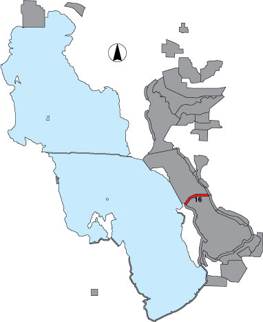
16 Antelope Causeway
Description |
The north and south sides of the north causeway, from where the water first occurs against the causeway by the entrance station to the three-way intersection on the Island, are a total count. Only birds directly associated with the causeway are recorded. Public access is on a Davis County road. |
Primary Habitat
Area Size (ha) |
120.4 |
Estimated Area Covered by Survey (ha) |
120.4 |
Years Surveyed |
5 |
Detection Rates |
Visibility is good for most of the route. In some places, large rocks may obscure birds. It is possible to see the entire area on foot. |
Site Bird Data
|