 |
 |
 |
||||||||||||
 |
 |
 |
 |
 |
 |
 |
 |
|||||||
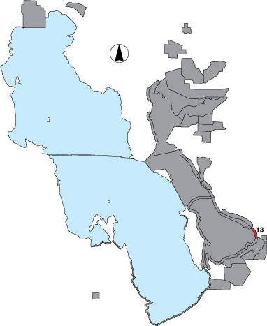
13 West Farmington
Description |
The shoreline is surveyed from the Egg Island Observation point to the drainage due west of the north end of the Davis County Sewer Plant. It includes one randomly placed point sample and two drainage point samples. Access is public from Farmington Bay WMA. |
Primary Habitat
Area Size (ha) |
305.6 |
Estimated Area Covered by Survey (ha) |
305.6 |
Years Surveyed |
5 (Many periods were not surveyed in 2001.) |
Detection Rates |
Visibility is good. |
Site Bird Data
|