 |
 |
 |
||||||||||||
 |
 |
 |
 |
 |
 |
 |
 |
|||||||
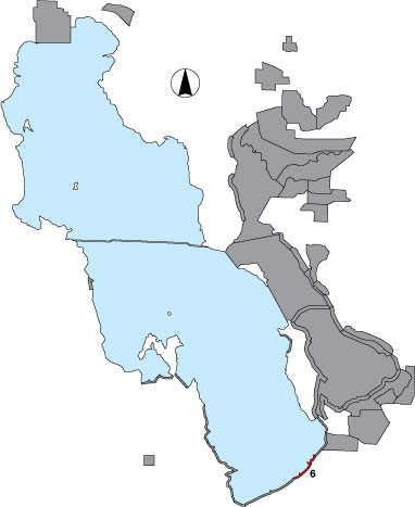
6 Saltair
Description |
A shoreline survey from Black Rock to the old Saltair railroad grade. Three point samples are included with the two outside points being randomly selected, and the middle point located at the drainage east of the boat harbor. The area has public access. |
Primary Habitat
Area Size (ha) |
737.9 |
Estimated Area Covered by Survey (ha) |
737.9 |
Years Surveyed |
5 |
Detection Rates |
Some emergent vegetation and structures associated with the marina and resort inhibit visibility. |
Site Bird Data
|