 |
 |
 |
||||||||||||
 |
 |
 |
 |
 |
 |
 |
 |
|||||||
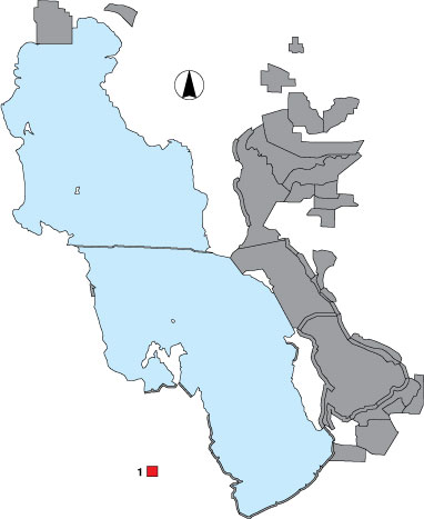
1 Timpie Springs WMA
Description |
This small, UDWR managed, wetland complex is surveyed from a vehicle on dike roads. The area was treated as a total count, recording all birds within the peripheral and internal dike systems. |
Primary Habitat
Area Size (ha) |
556.7 |
Estimated Area Covered by Survey (ha) |
445.5 |
Years Surveyed |
5 |
Detection Rates |
Visibility is generally unobstructed. Some corners of the ponds are difficult to see. Vegetation beyond ponds can flood and subsequently be used by waterbirds. Viewing birds in these areas can be difficult. |
Site Bird Data
|